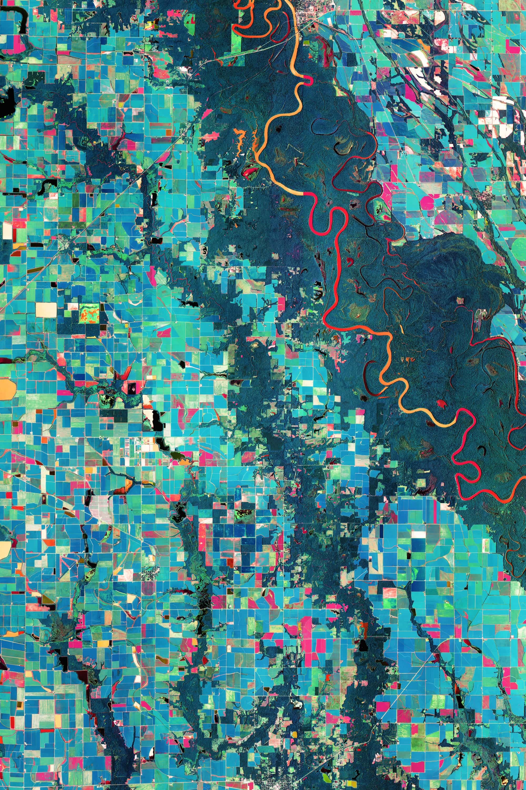
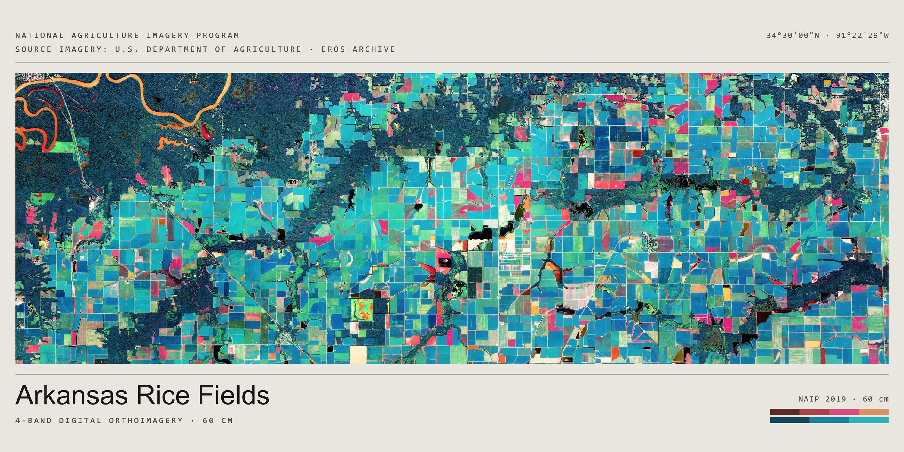
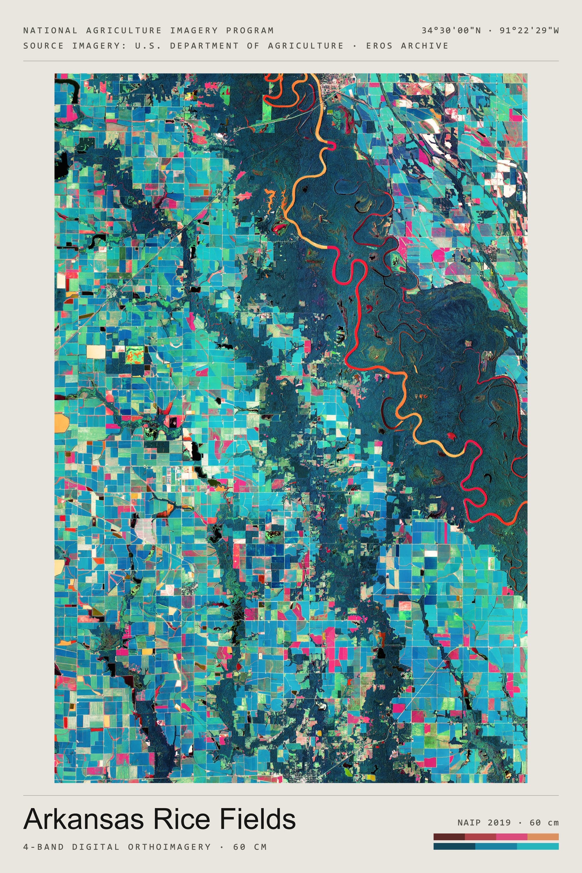
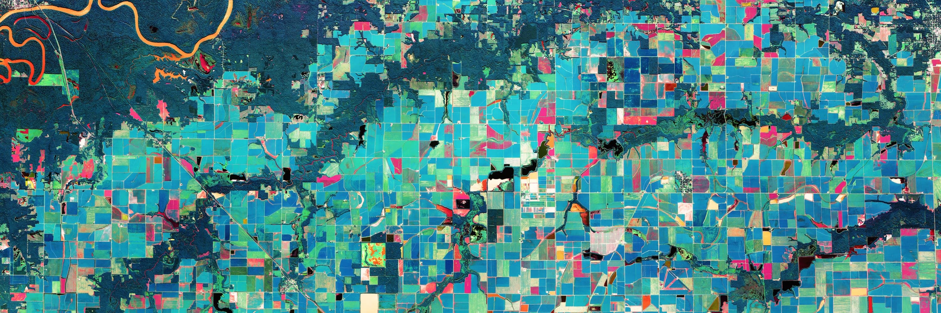
The Grand Prairie of eastern Arkansas, between the White and the Arkansas rivers, grows more rice than any other place in the United States. The fields are flooded behind low levees that follow the land's contours, and the reservoirs and tailwater ditches that feed them are cut into the same grid. In four-band imagery the division is clean: growing rice returns near-infrared and registers red, standing water returns almost none and comes back dark, and the contour levees draw the shape of the prairie through the fields as fine nested lines.
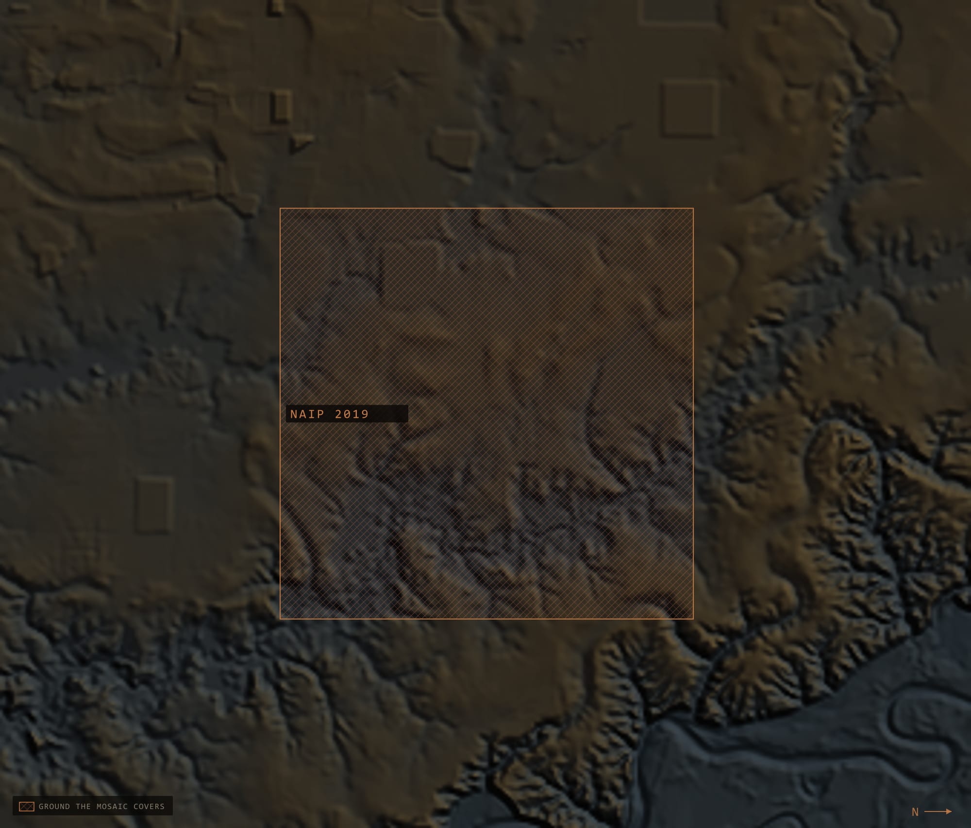
This is the collection's first digital place. The film places are one aircraft, one line, one day's light; this is seventy-three NAIP quarter-quads from the 2019 season — sixty-six of them flown on 12 August — levelled against each other on their true shared overlap and merged into one field nine kilometres on a side.