SKIP TO CONTENT

Aerial

FEDERAL SURVEY IMAGERY1980–PRESENTCOLOR INFRARED

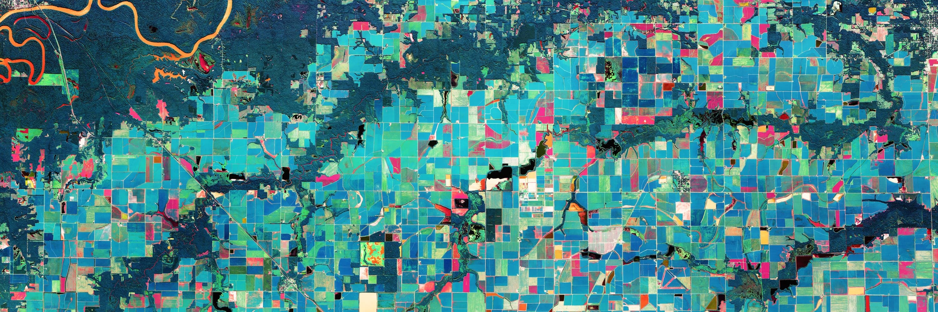
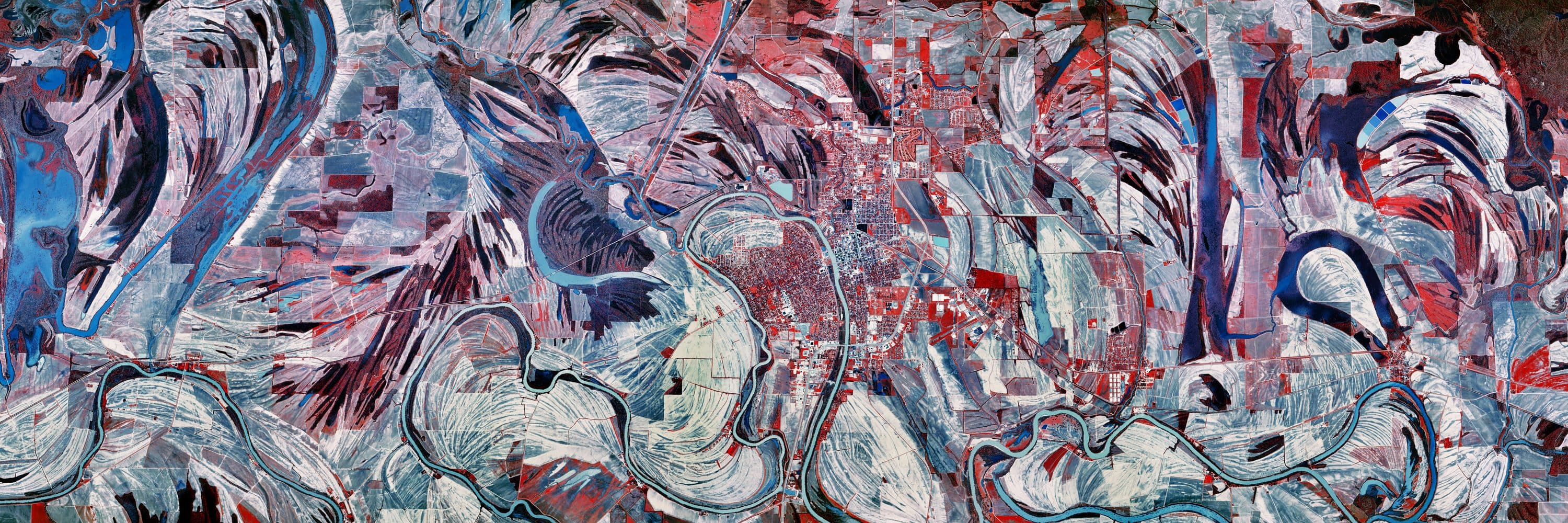
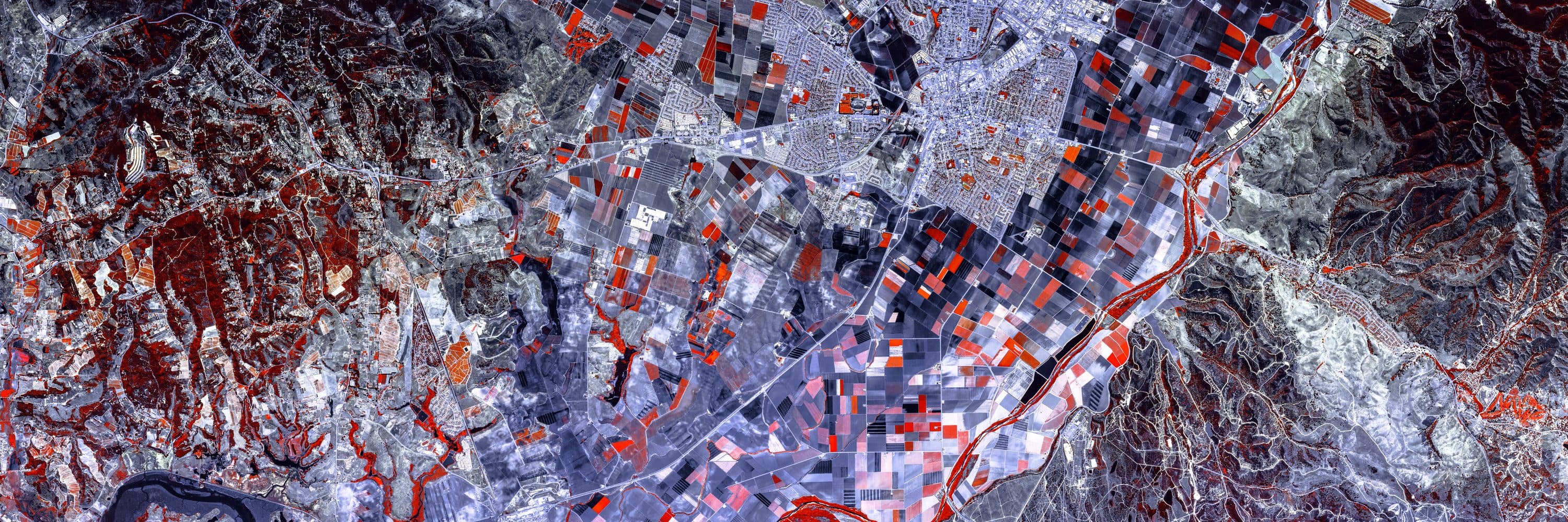
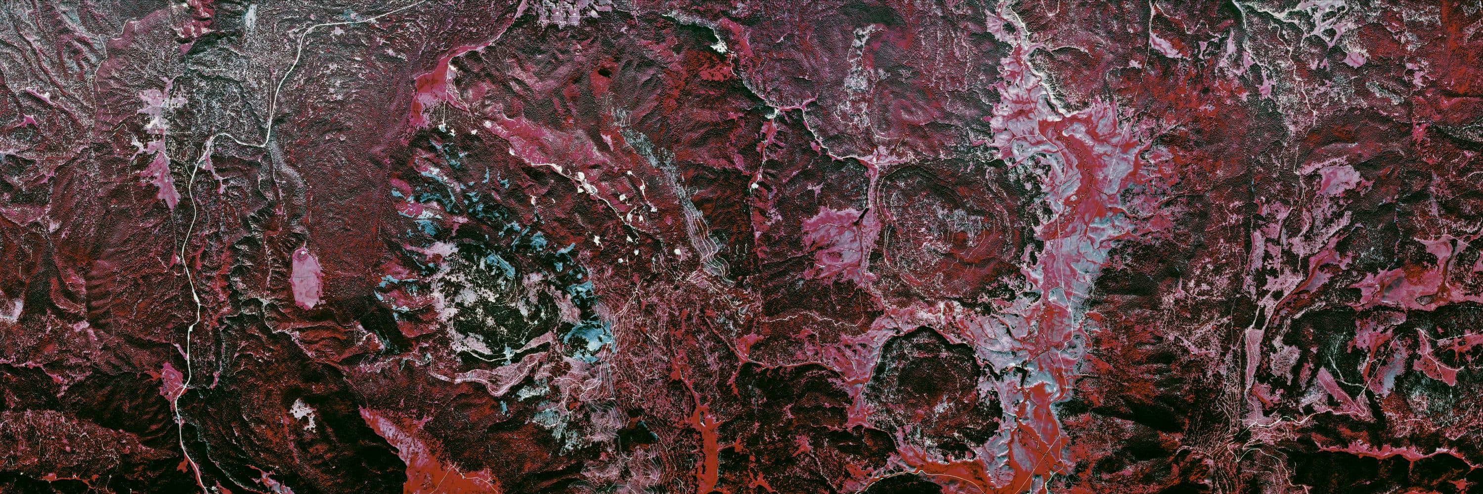
Since 1980 the U.S. government has photographed the entire country from the air for the purpose of terrain mapping — first on nine-inch color infrared film from forty thousand feet, then from half that altitude, and since 2003 as four-band digital imagery. Film-era flight paths followed straight lines with single rolls for each pass, creating discontinuity between passes.

I search the flight archives for beautiful places, find single film rolls with consistent color and exposure and then register the frames into one continuous image of the flight line before cropping and grading.

Source imagery courtesy of the U.S. Geological Survey, EROS Archive.
THE PROGRAMS

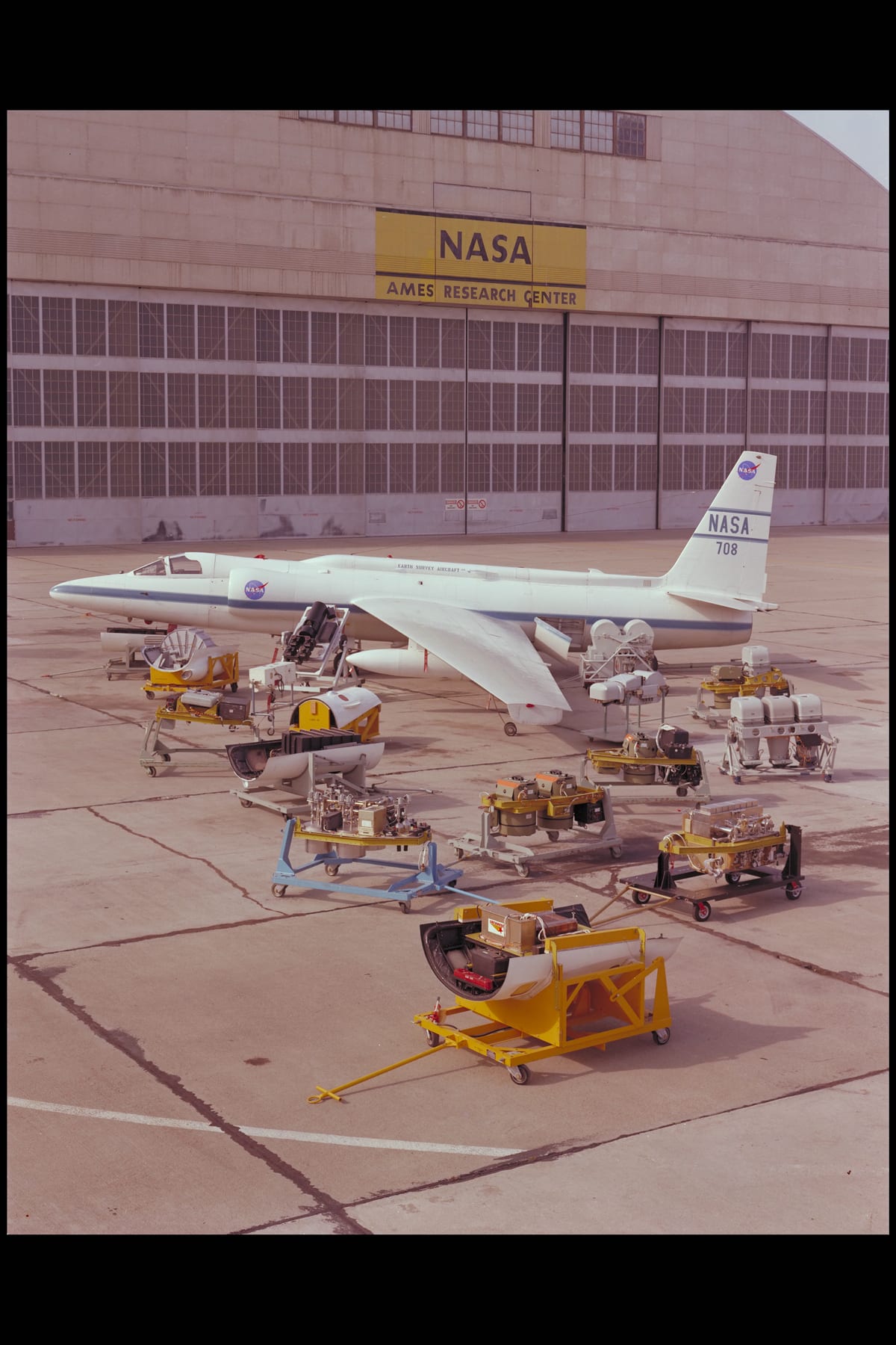
NASA's U-2 Earth Survey Aircraft with its camera systems, Ames Research Center, 1977 — the high-altitude platform type of the era.

NHAP1980–1989

U.S. GEOLOGICAL SURVEY

40,000 FT1:58,000 CIR9 IN FILM

The National High Altitude Photography program flew the conterminous United States from forty thousand feet, exposing black-and-white and color infrared film simultaneously from the same aircraft. The infrared negatives — nine inches square, at 1:58,000 — are the source for this collection.

NASA / AMES RESEARCH CENTERPUBLIC DOMAIN

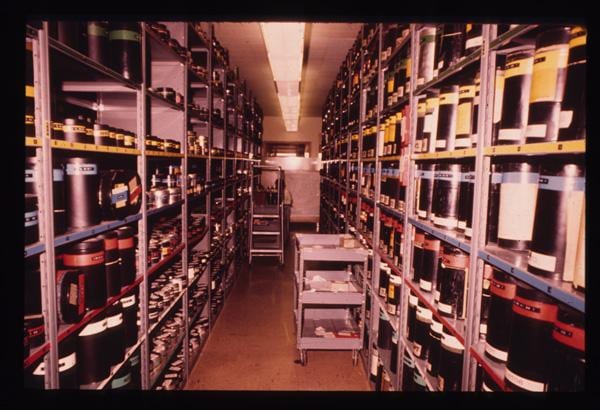
Aerial film in storage at the USGS EROS Data Center, 1974 — the archive that now holds the NHAP and NAPP rolls.

NAPP1987–2007

U.S. GEOLOGICAL SURVEY

20,000 FT1:40,0009 IN FILM

Its successor halved the altitude and doubled the ground detail, flying state by state on repeating cycles — black-and-white or infrared film depending on the mission — until film gave way to digital in 2007.

USGS EROS HISTORY PROJECTPUBLIC DOMAIN

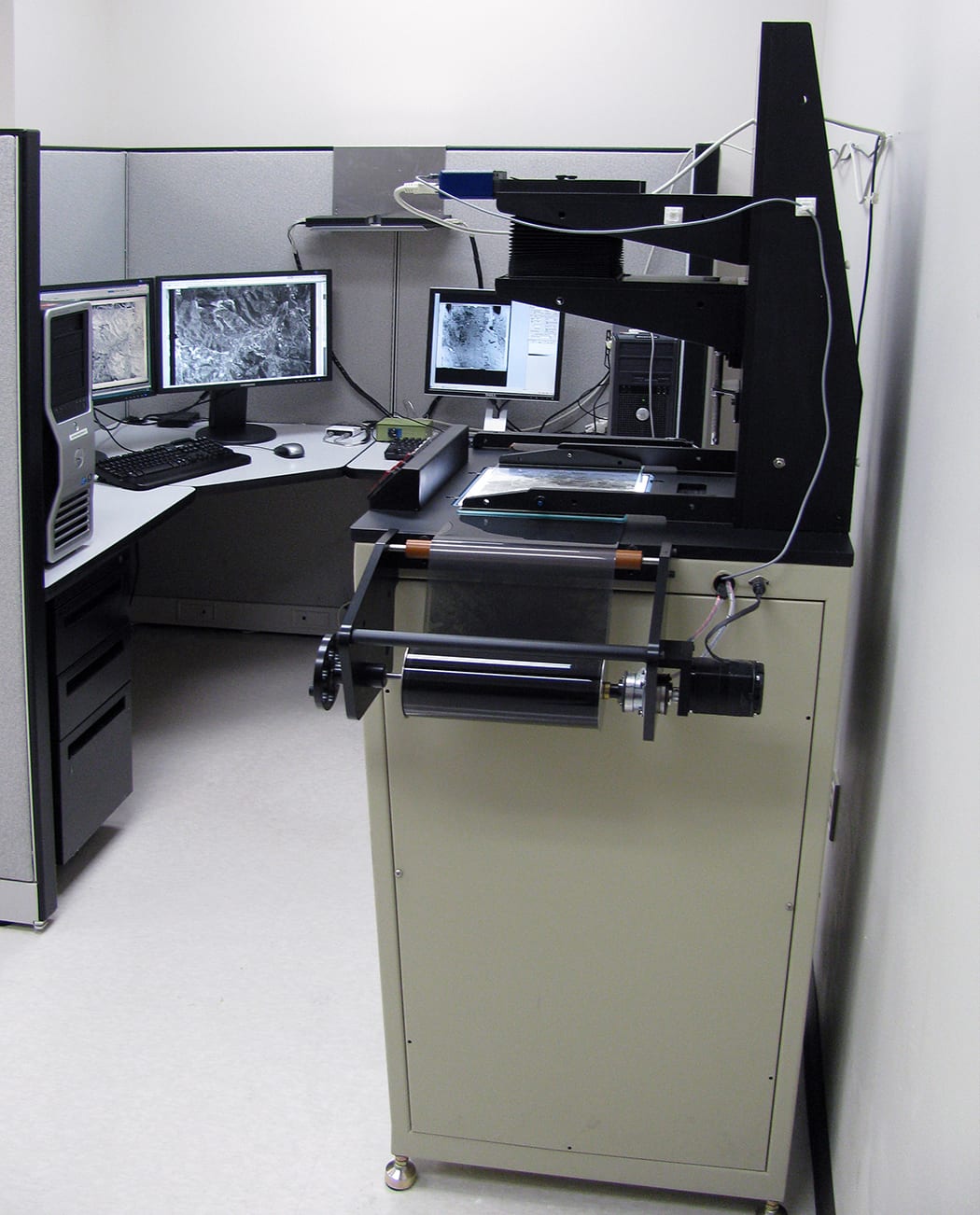
A film scanning workstation at USGS EROS, 2012 — survey film crossing into the digital archive this section is drawn from.

NAIP2003–

U.S. DEPT. OF AGRICULTURE

DIGITAL4-BAND RGB+NIR60 CM / PX

The digital era: four-band orthoimagery flown during the growing season, at one metre and since 2018 sixty centimetres per pixel. Its near-infrared band renders the same false colour the survey film recorded chemically.

USGS EROS CENTERPUBLIC DOMAIN

Everything in the collection so far is NHAP film. NAPP and NAIP locations are in preparation. Archival photographs are United States government works, credited above.

NATURAL WONDERS2

CITIESIN PREPARATION

First locations are being assembled from the archive.

Print editions from this section are in preparation.