NATIONAL HIGH ALTITUDE PHOTOGRAPHY·U.S. GEOLOGICAL SURVEY
Source imagery courtesy of the U.S. Geological Survey, EROS Archive.
Catfish Ponds
MISSISSIPPI·NHAP81 · NHAP02
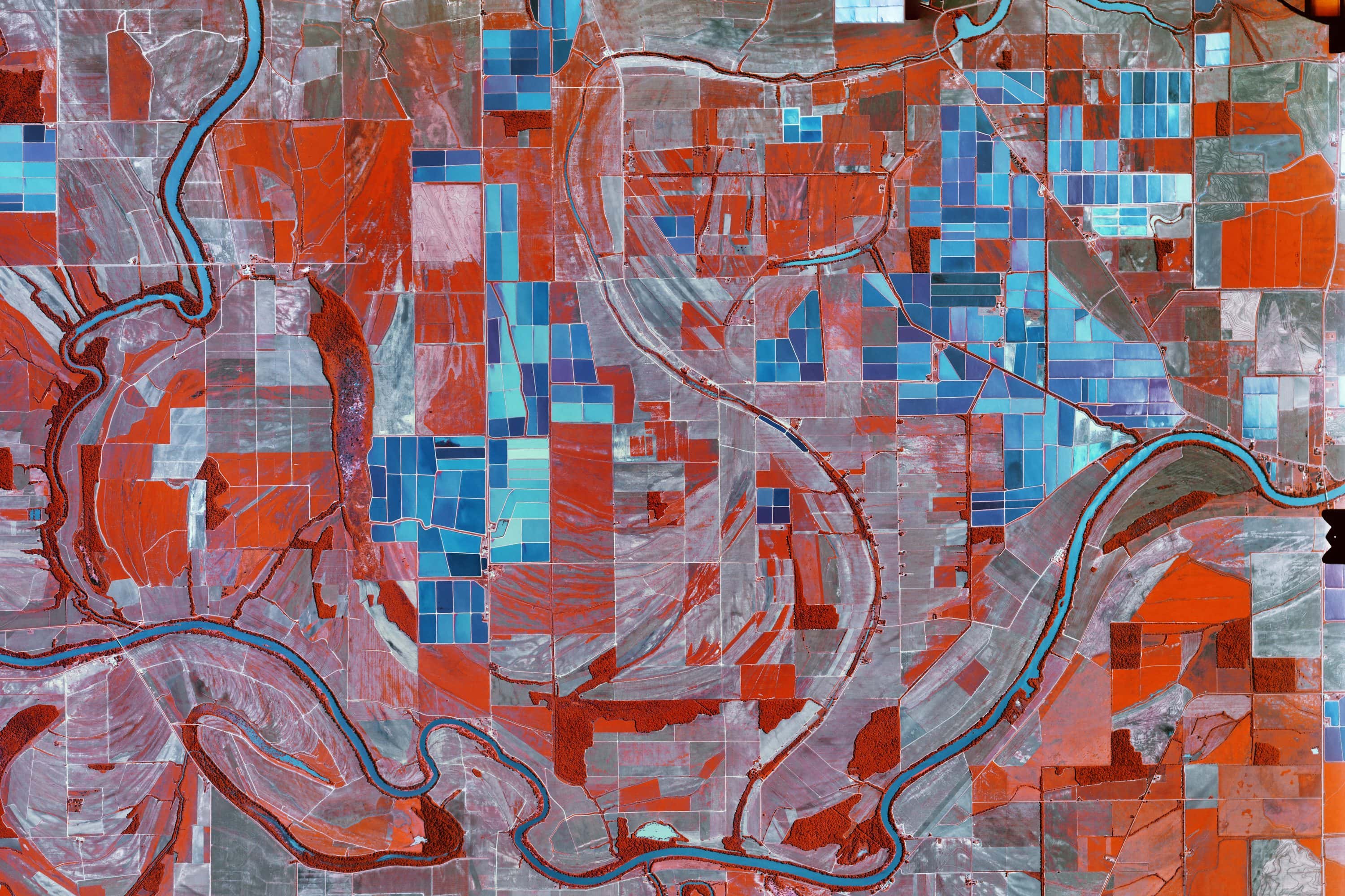
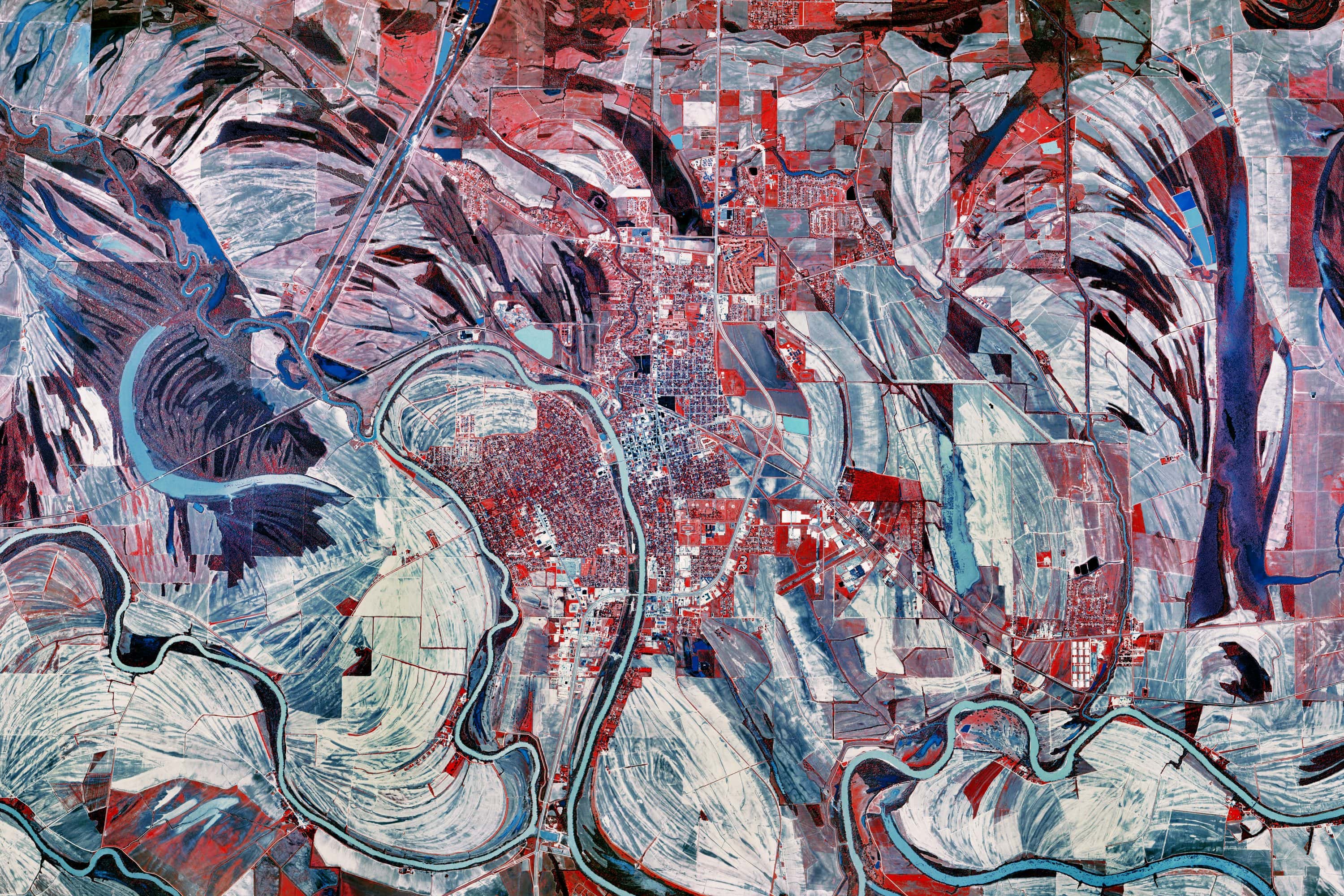
Flat alluvial farmland in the Mississippi Delta, between the Yazoo and the
Mississippi. The catfish ponds are cut into it in rectangular blocks, each
one banked by levees and held under water, set among row crops on the same
grid. On infrared film the ponds and the fields divide cleanly: standing
water returns almost none of the near-infrared and comes back black, while
the crops and levees around it register red.
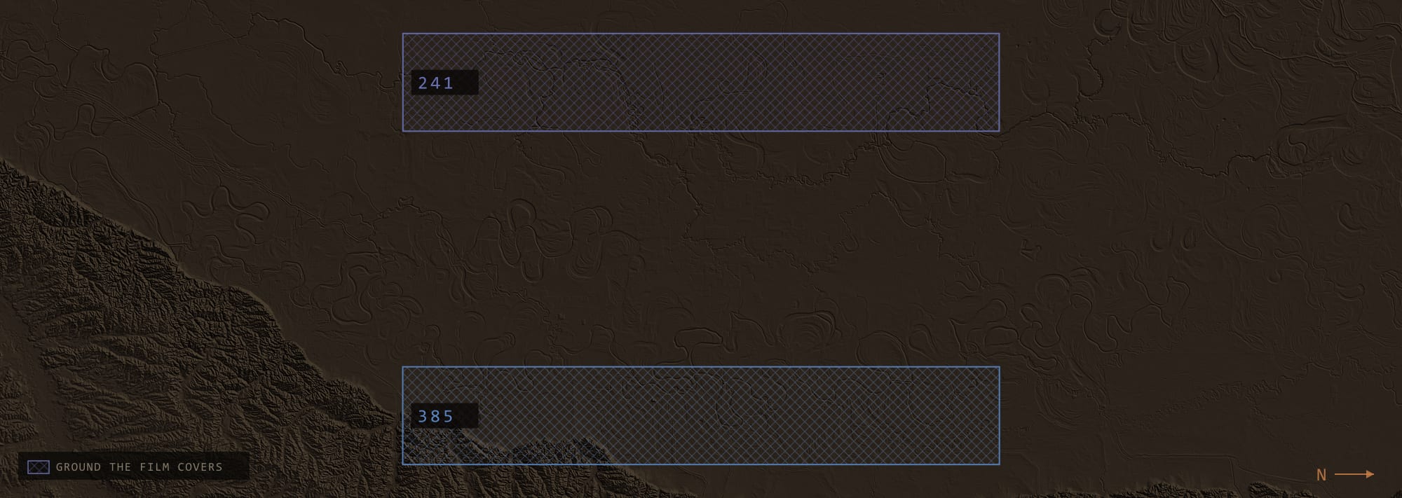
FILM COVERAGE AS FLOWN·TERRAIN: USGS 3DEP ELEVATION DATA