NATIONAL HIGH ALTITUDE PHOTOGRAPHY·U.S. GEOLOGICAL SURVEY
Source imagery courtesy of the U.S. Geological Survey, EROS Archive.
Salinas Valley
CALIFORNIA·NHAP81
The Salinas Valley runs northwest between the Gabilan Range and the Santa
Lucia Mountains, from the Monterey Bay coast inland past King City. The
valley floor is farmed in long rectangular blocks; the ranges on either
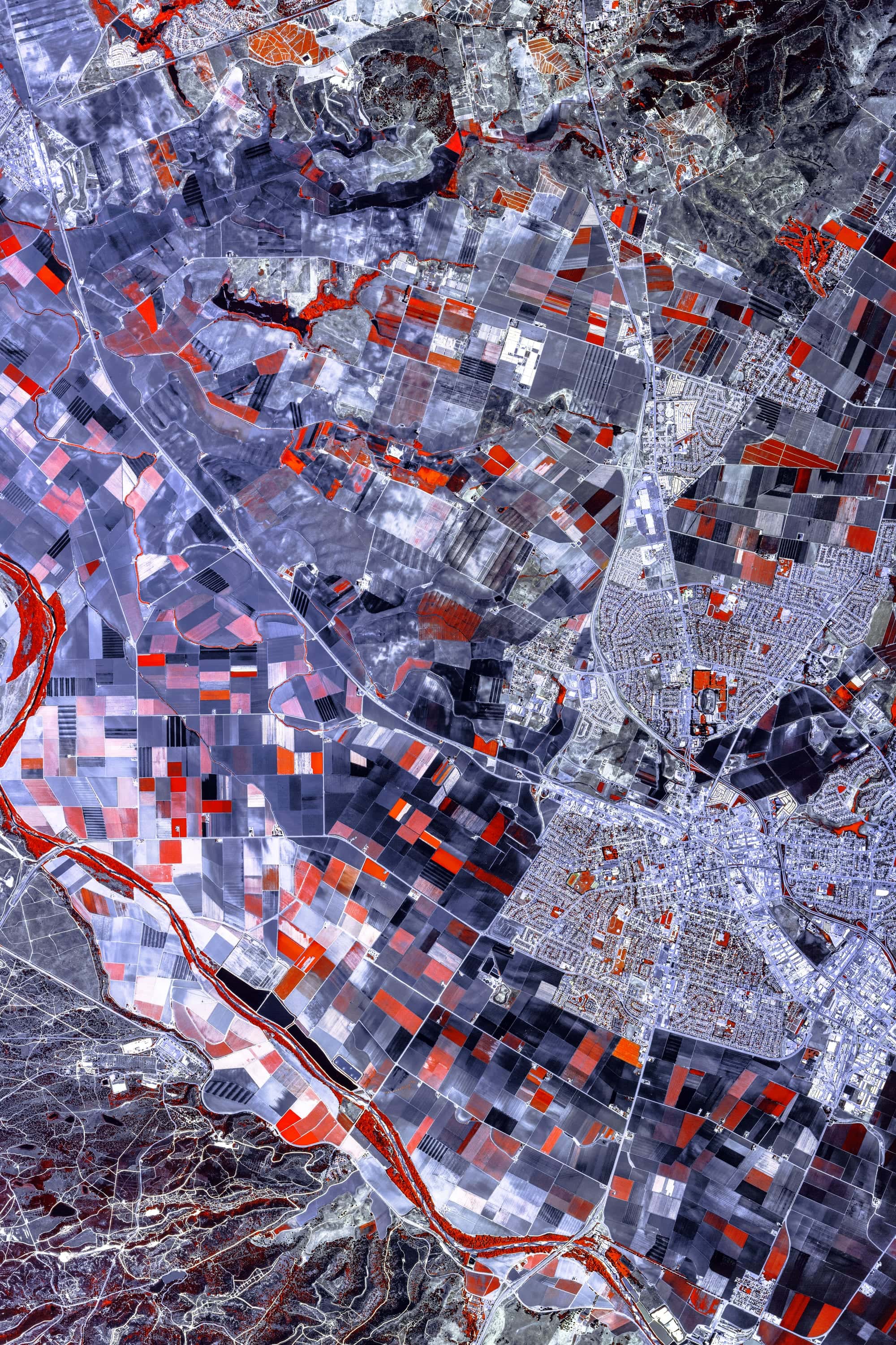
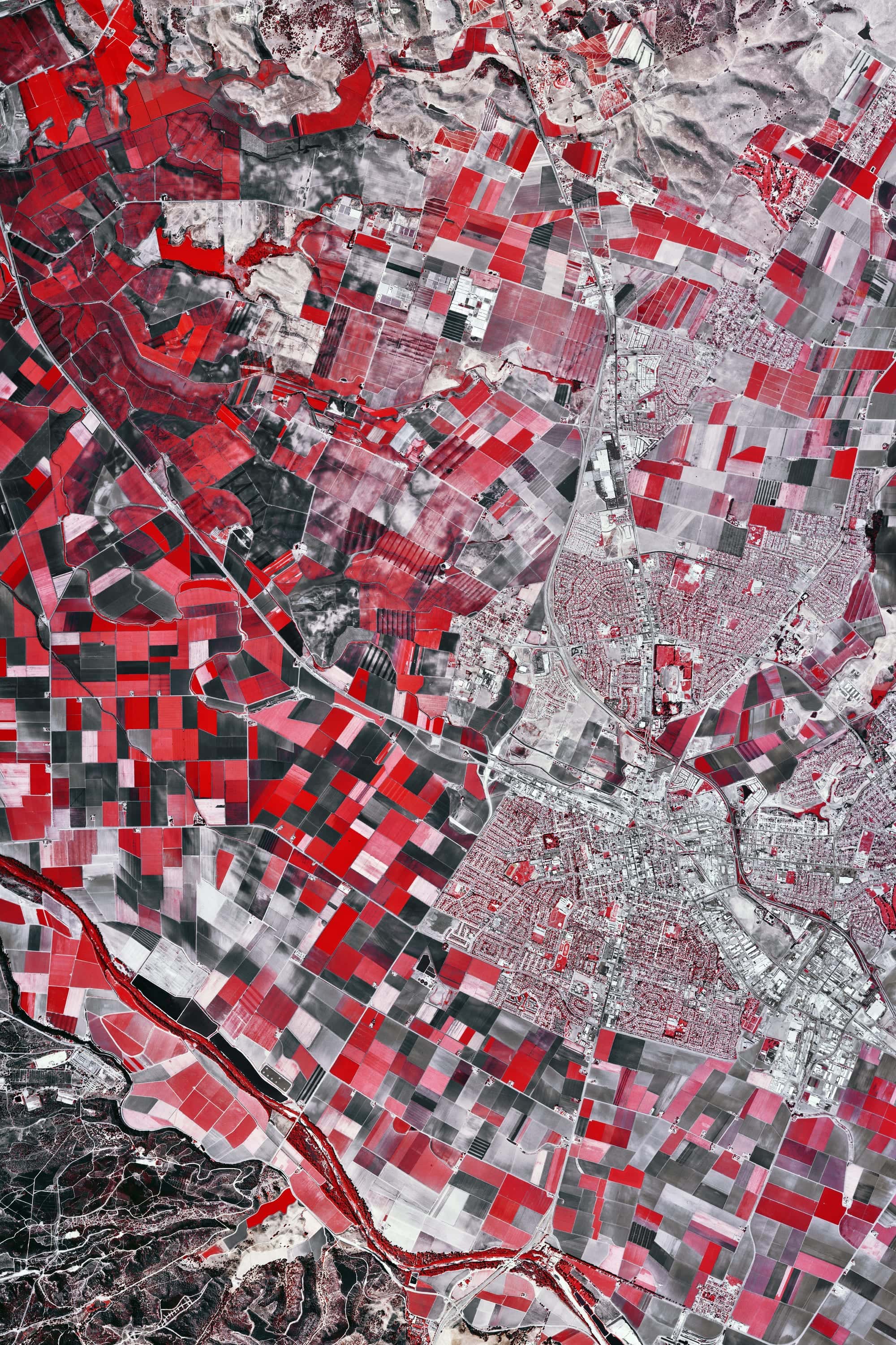
side are unfarmed. On infrared film that division is the whole picture:
irrigated fields register as saturated blocks against the dry hills.
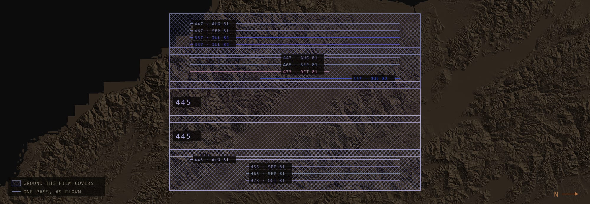
FILM COVERAGE AS FLOWN·TERRAIN: USGS 3DEP ELEVATION DATA
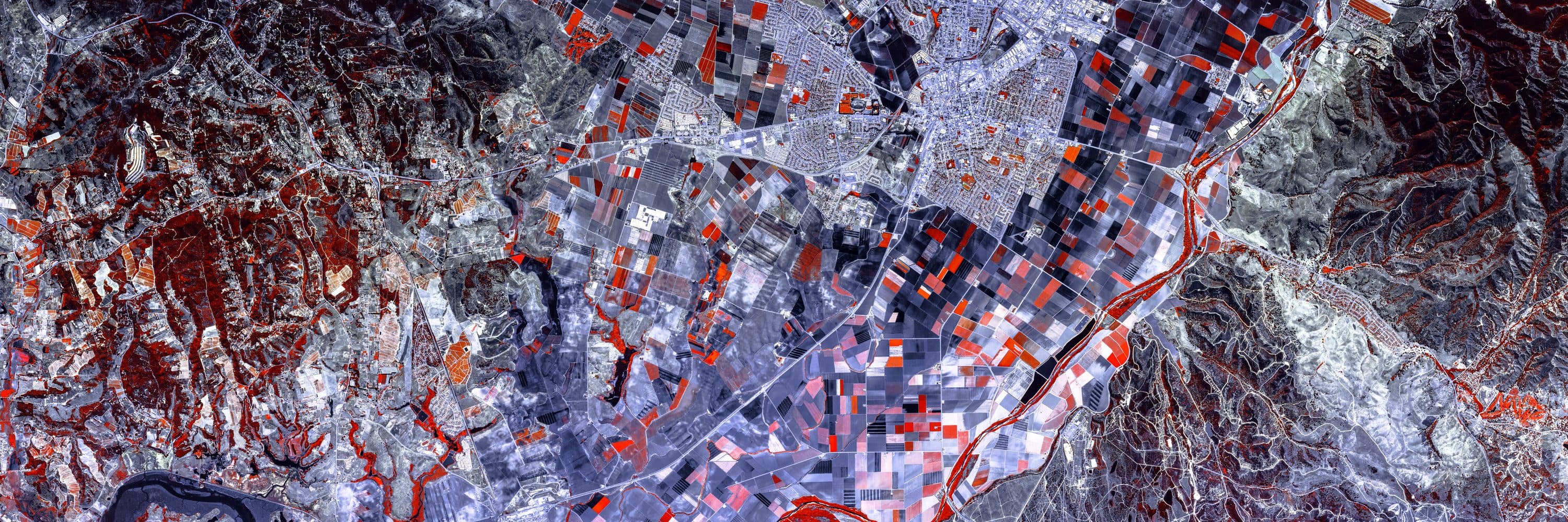
ROLL 337·NHAP81 · 337-008/020
ACQUIRED 5 JULY 1982·ROLL 337, FRAMES 008–020
8 FRAMES REGISTERED·21,993 PX MASTER·367 PPI AT 60 IN